Delivery of Maps & Cartography
Delivery of Maps & Cartography
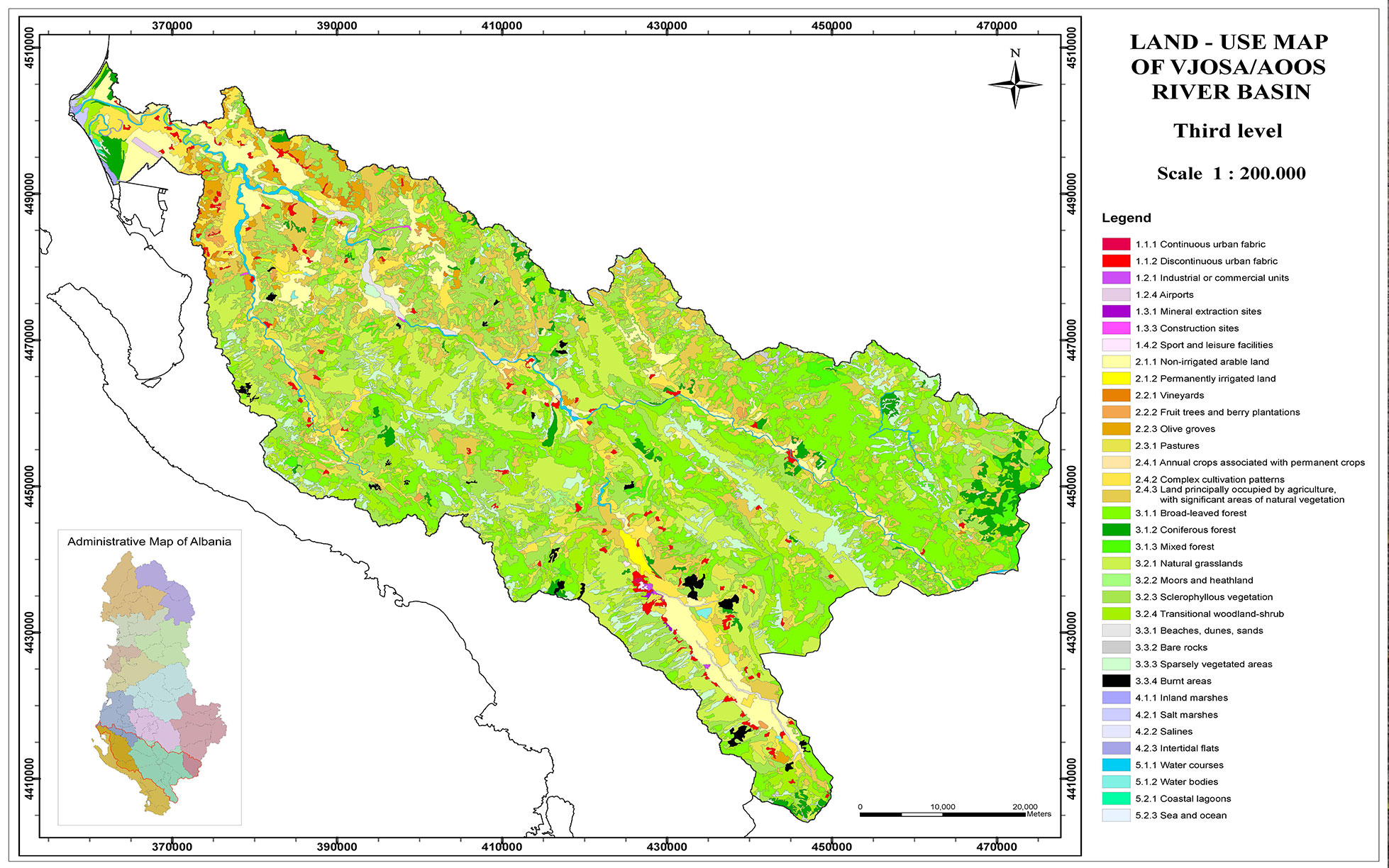
GIS and graphic design software have radically changed the techniques by which map information is published. Digital cartographic techniques are evolving and becoming capable of producing sophisticated map layouts and products. It is anticipated that digital cartographers will be continually challenged to develop new techniques as software evolves and as geologists and users demand more complex and informative products.
Give us a call
Let’s talk about your project!
We provide comprehensive assessments, for geological hazard assessments, geotechnical, material properties, stability of landslides and slopes, erosion, flooding, dewatering, and seismic investigations.