Topography
A topographic survey gathers data about the natural and man-made features of the land, as well as its terrain. Permanent features such as buildings, fences, trees and streams accurately define the ground and its boundaries. Land contours and spot levels show the elevation of the terrain. Topographic maps are used by architects, engineers, building contractors and others to accurately visualise their sites and help bring forward development. Depending on the purpose of the survey and the desired output, there are a few types of topographical surveys to choose from, including a general land survey, boundary survey, and survey for construction projects. Also, depending on the scale of the map that is required and location of the site, for instance whether it’s an urban or rural area, a survey can be classified by accuracy level. In Geohazards Consulting we perform topographical survey with an accuracy of 1-2 cm.
Fields of application:
Study of landslides
Study of engineering structures and infrastructures (bulgings, dams, highways, bridges etc.)
River modelling
Flooding
Seismic Microzonation Study
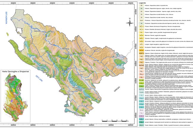
Geological Modelling
Geologic mapping is a highly interpretive, scientific process that can produce a range of map products for many different uses, including assessing ground-water quality and contamination risks
Learn More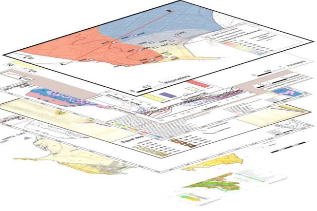
GIS Geo-Databases & Webgis
The main goal in many geological, geophysical, hydrogeological, geomorphological geo-mechanical surveys no longer is to create a single geologic map but to create a database from which many types of geologic and engineering geology maps can be derived.
Learn More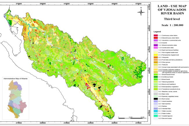
Delivery of Maps & Cartography
GIS and graphic design software have radically changed the techniques by which map information is published. Digital cartographic techniques are evolving and becoming capable of producing sophisticated map layouts and products.
Learn MoreGive us a call
Let’s talk about your project!
We provide comprehensive assessments, for geological hazard assessments, geotechnical, material properties, stability of landslides and slopes, erosion, flooding, dewatering, and seismic investigations.