Geophysics
Supporting Clients during Construction
Geophysical surveying and mapping gives a clearer picture of subsurface conditions prior to site development or beginning construction, which helps you avoid costly mistakes and time delays. Geohazards Consulting deploys advanced, non-invasive surveying techniques using state-of-the art instrumentation and the last softwares and our Professional Geologists and Geophysicists collaborate with your Geotechnical/CIvil Engineers to provide you the best possible data. Our team also pinpoints possible hazards and the potential presence of the earthquake seismo-induced fenomena as: liquefaction, landslides, seismic amplification and sinkholes.
Not sure how we can help? Call us and let’s talk about your project!
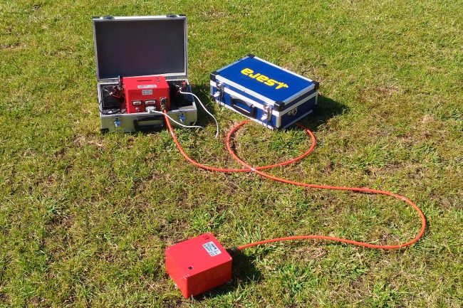
Active Seismic Investigations
- MASW Multichannel Analysis of Surface Waves
- Seismic Refraction Investigation
- Seismic Reflection Investigation
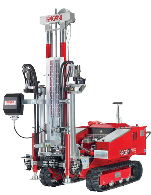
- Borehole Seismic Investigation
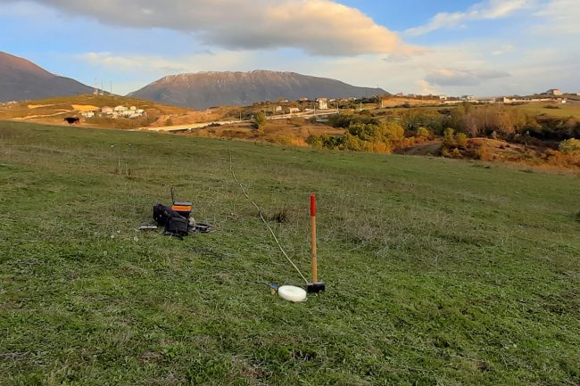
Passive Seismic Investigations
- HVSR Horizontal to Vertical Spectral Ration
- Re.Mi. Seismic Investigations
- ESAC Seismic Investigations
- SPAK Seismic Investigations
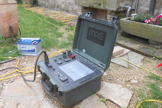
Geoelectric Investigations
- VES Vertical Electrical Sounding
- 2D-3D Electrical Resistivity Tomography
- 2D-3D Induced Polarisation Measurements
- Self-Potential Measurements
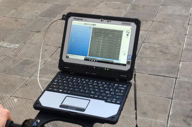
Georadar Survey
Learn More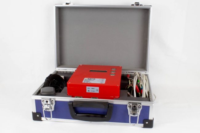
TDEM & FDEM Electromagnetic Investigations
Learn More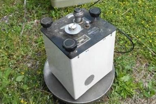
Gravimetric & Microgravimetric Investigations
Learn MoreGive us a call
Let’s talk about your project!
We provide comprehensive assessments, for geological hazard assessments, geotechnical, material properties, stability of landslides and slopes, erosion, flooding, dewatering, and seismic investigations.