Gravimetric & Microgravimetric Investigations
Gravimetric & Microgravimetric Investigations
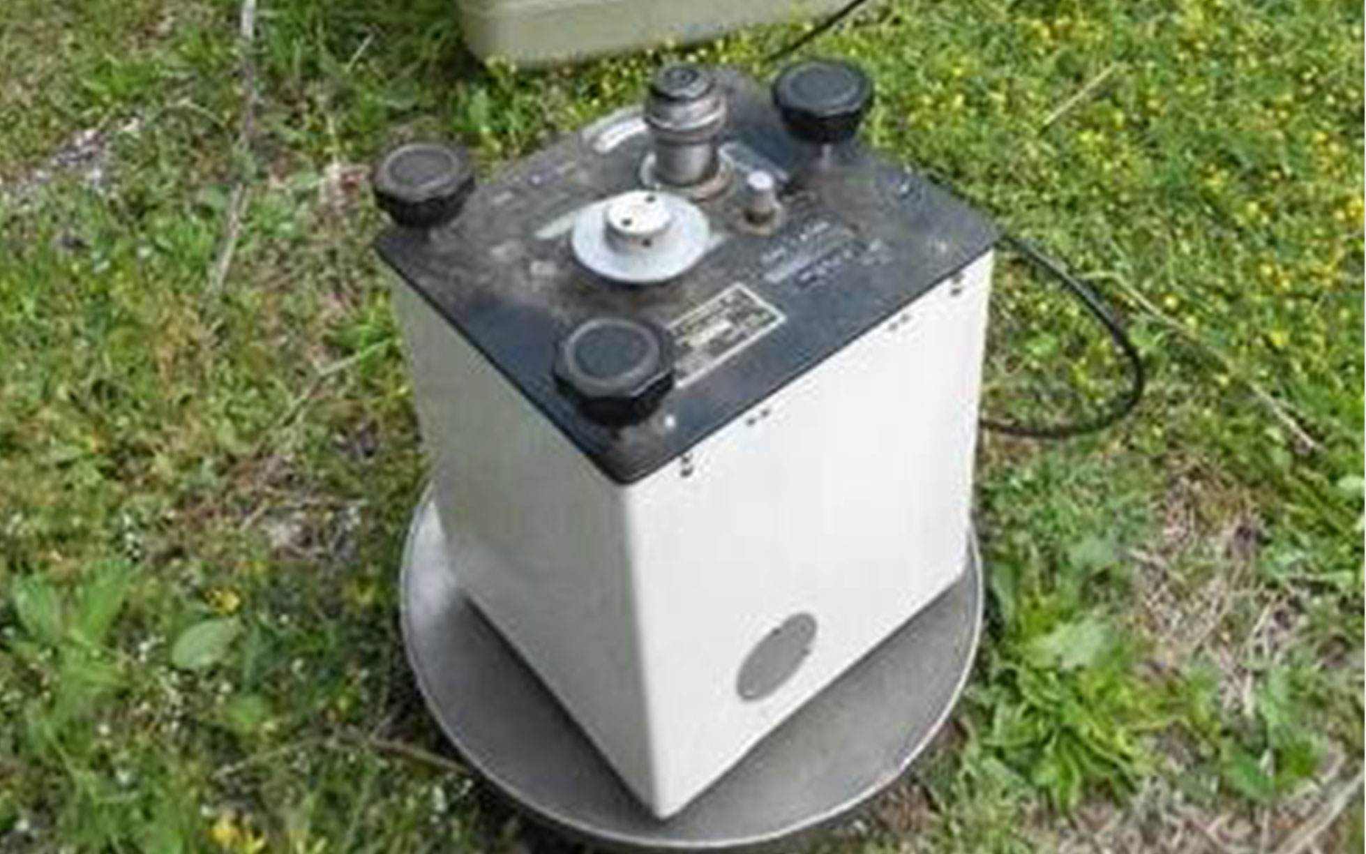
The gravimetric method consists of the detailed analysis of deformations of the land’s gravitational field, caused by anomalies and heterogeneities present in the subsoil. Gravimetry (and microgravimetry in particular) is a geophysical method used to map rock density and to search for natural and artificial cavities in the subsoil.
Give us a call
Let’s talk about your project!
We provide comprehensive assessments, for geological hazard assessments, geotechnical, material properties, stability of landslides and slopes, erosion, flooding, dewatering, and seismic investigations.