Stratigraphic Boreholes
Stratigraphic Boreholes
Borehole logging. Used to make measurements inside boreholes (or drill holes).
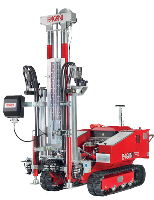
Core drilling, destructive drilling (with parameter recording, in reverse circulation).
Before beginning construction on — or even purchasing — a plot of land, it’s important to understand the makeup of the ground you intend to build on. What is the consistency of the soil? How much groundwater is there? Is the soil prone to liquefaction — when the ground takes on the properties of a liquid — in the event of an earthquake? It’s important to know these characteristics so that your building is constructed on a sturdy enough surface.
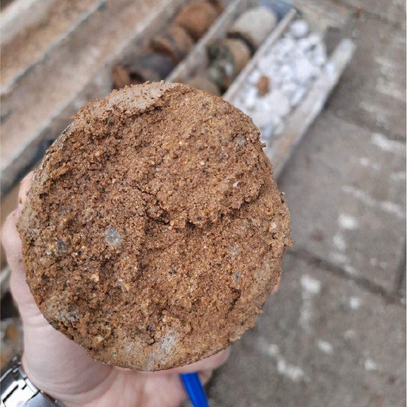
This is where geotechnical surveying comes in. The process of a geotechnical survey involves testing the soil consistency and structure, groundwater level, and making recommendations for any technical project based on the results. Boreholes are drilled at the site and samples are taken from the ground and analyzed in a certified geotecnical laboratory. Based on the results of the survay, the 3D modelling of the subsoil is obtained. Refer to the 3D model, recommendations for the excisting and the new civil construction are proposed.
Give us a call
Let’s talk about your project!
We provide comprehensive assessments, for geological hazard assessments, geotechnical, material properties, stability of landslides and slopes, erosion, flooding, dewatering, and seismic investigations.