Geological Modelling
Geological Modelling
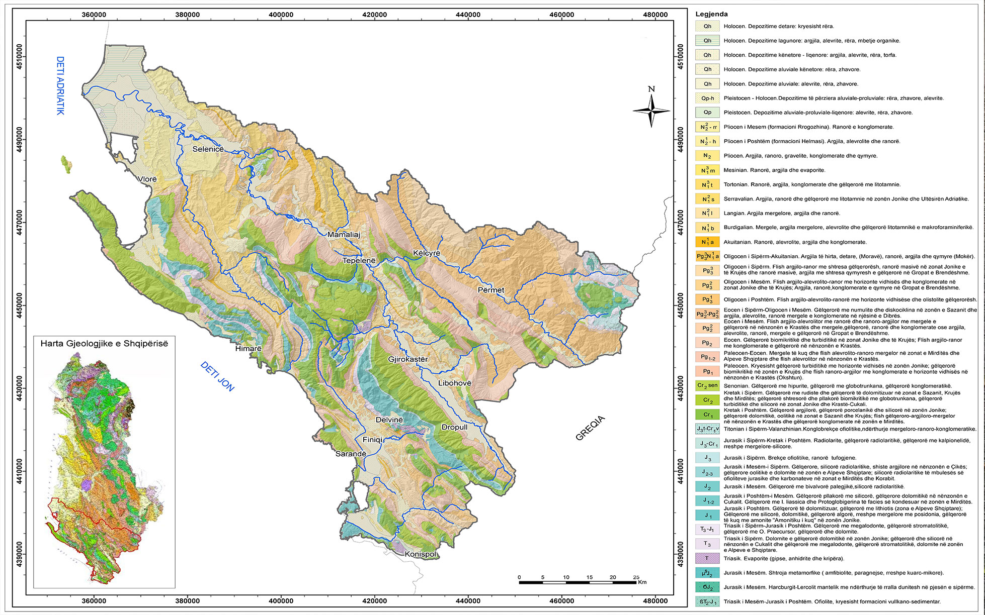
Geologic mapping is a highly interpretive, scientific process that can produce a range of map products for many different uses, including assessing ground-water quality and contamination risks; predicting earthquake, volcano, and landslide hazards; characterizing energy and mineral resources and their extraction costs; waste repository siting; land management and land-use planning; and general education. The value of geologic map information in public and private decision-making (such as for the siting of landfills and highways) has repeatedly demonstrated to be crucial in benefit-cost analyses to reduce uncertainty and, by extension, potential costs.
Give us a call
Let’s talk about your project!
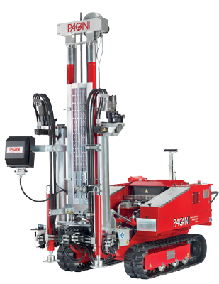
We provide comprehensive assessments, for geological hazard assessments, geotechnical, material properties, stability of landslides and slopes, erosion, flooding, dewatering, and seismic investigations.