GIS Geo-Databases & Webgis
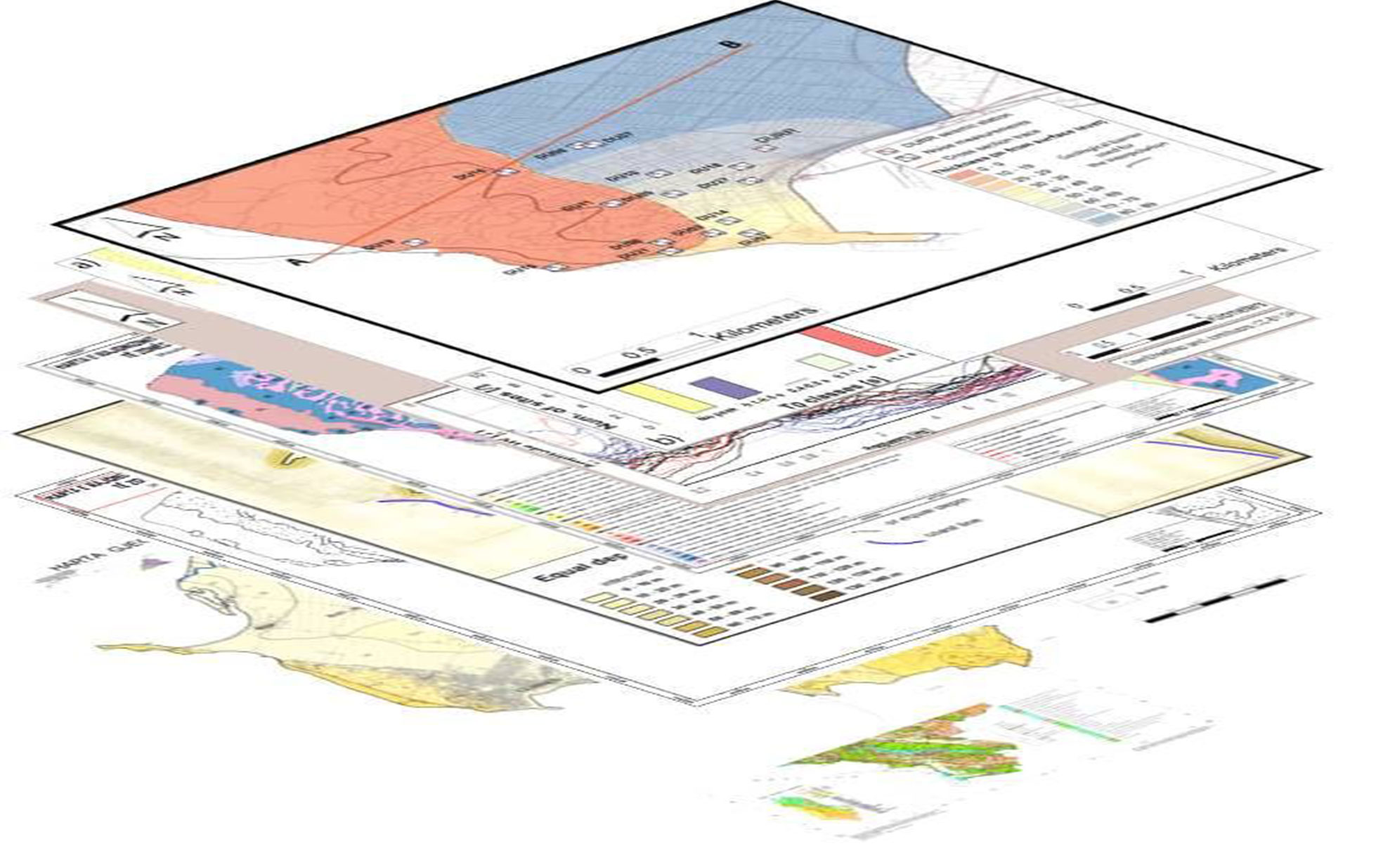
GIS Geo-Databases & Webgis
The main goal in many geological, geophysical, hydrogeological, geomorphological geo-mechanical surveys no longer is to create a single geologic map but to create a database from which many types of geologic and engineering geology maps can be derived. This requires a database design or “data model” that is sufficiently robust to manage complex geologic concepts such as three dimensional (spatial) and temporal relations among map units, faults, and other features.
Give us a call
Let’s talk about your project!
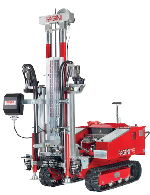
We provide comprehensive assessments, for geological hazard assessments, geotechnical, material properties, stability of landslides and slopes, erosion, flooding, dewatering, and seismic investigations.